 English

 Home
Home Hotels
  Car Rental
 Rewards
 Travel Guide
Gatlinburg Beyond the Parkway: Where the Day Can Take You

The Parkway is where most Gatlinburg trips begin, and there is nothing wrong with that. It is convenient, lively, and packed with places that make the town immediately recognizable. But spend the entire visit there and Gatlinburg starts to look much smaller than it really is. A few turns away from the busiest blocks, sidewalks give way to creekside roads, craft studios appear among wooded hills, and Great Smoky Mountains National Park begins swallowing up the buildings surprisingly quickly. That change of scenery is what makes Gatlinburg beyond the Parkway worth giving a full day.
The best way to approach that day is not as a collection of distant attractions. Most of the places that matter are close enough to fit together naturally. Sugarlands Visitor Center sits only about two miles south of town. The Gatlinburg Trail connects the park directly with River Road. The entrance to the Roaring Fork Motor Nature Trail begins from Historic Nature Trail Road, while the Gatlinburg Arts and Crafts Community spreads along an eight-mile loop east of downtown. Farther into the park, Newfound Gap Road climbs toward some of the Smokies’ broadest views.
The result is a day that feels far more varied than the mileage suggests. One hour can be spent beside a mountain stream, the next in a pottery studio, and another looking over ridges that stretch across Tennessee and North Carolina. It is the side of Gatlinburg that becomes easier to understand once the Parkway is no longer the center of the plan.
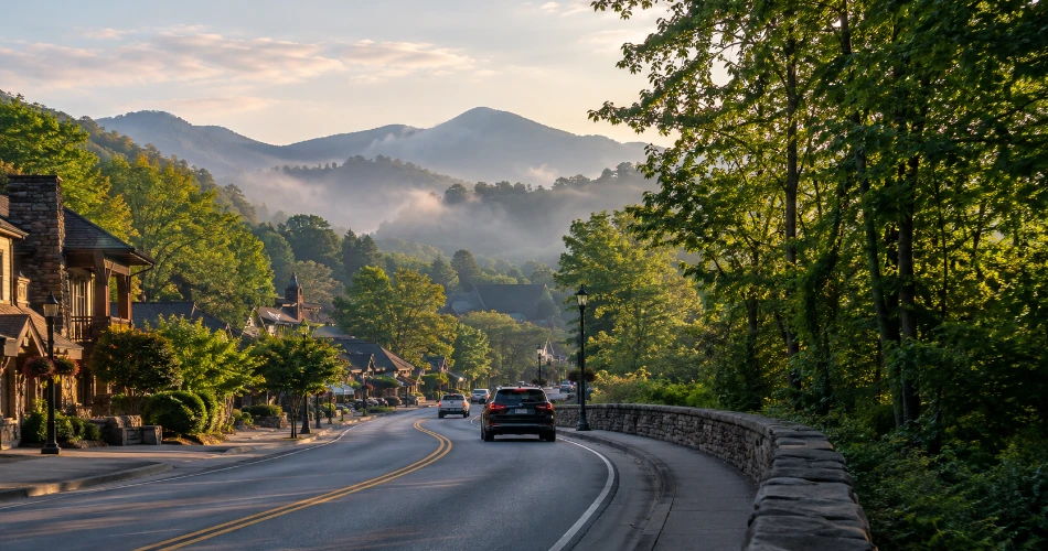
Let Sugarlands Be the Point Where Town Turns Into Forest
One of the easiest ways to leave downtown behind is to head south toward Sugarlands Visitor Center. It is roughly two miles from Gatlinburg on Newfound Gap Road, but the transition feels much greater than the distance suggests. Storefronts thin out, the road becomes enclosed by trees, and the surrounding slopes begin to look less like a backdrop and more like the reason the town is here at all. Sugarlands serves as the northern gateway to Great Smoky Mountains National Park and provides maps, natural-history exhibits, restrooms, park information, and access to several nearby walks.
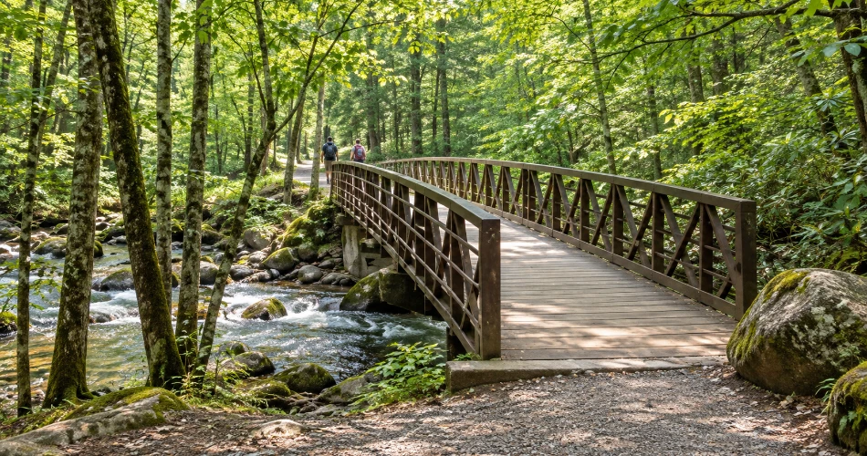
For travelers who want to begin gently, the Gatlinburg Trail is especially useful. It runs about two miles each way between Sugarlands and River Road in Gatlinburg, following a wide dirt path through cove hardwood forest for much of the route. Along the way, hikers pass the river, a pedestrian bridge, and historic stone chimneys left from earlier settlement. It is also one of the park’s few trails where bicycles and dogs are permitted.
Nobody needs to complete the entire four-mile round trip for the walk to be worthwhile. A shorter out-and-back gives visitors the river, forest, and bridge without committing half the morning. Travelers looking for an even easier option can use the paved half-mile Sugarlands Valley Nature Trail nearby.
Park entry itself remains free, but vehicles parked for more than 15 minutes generally require a physical parking tag.
Drive Roaring Fork Slowly Enough to Notice What the Road Is Showing
The Roaring Fork Motor Nature Trail is only a short distance from central Gatlinburg, yet it feels like a different world once the one-way road enters the forest. This is not a drive that rewards speed. The road winds through dense woodland beside streams, old home sites, trailheads, and historic mountain structures. National Park Service guidance specifically treats it as a scenic route with places to stop, walk, and look around rather than simply a shortcut through the park.
The approach begins from Historic Nature Trail Road and continues through the Cherokee Orchard area. Once on the motor trail, visitors encounter access to the Trillium Gap Trail, which leads toward Grotto Falls, although trailhead parking is limited. Near the end of the route, Place of a Thousand Drips spills across a roadside rock face. Its flow changes considerably with rainfall, which is part of the appeal; after wet weather, small streams spread across the rock instead of behaving like one neat waterfall.
Historic buildings also deserve more than a windshield glance. Cabins and other structures tell the story of families who lived in these narrow valleys before the national park was established. Pulling over legally, walking around a home site, and listening to the creek usually reveals more than rushing to the next viewpoint.
The road is seasonal. For 2026, the scheduled operating season runs from April 17 through November 29, weather permitting. Buses, trailers, and motor homes are prohibited, and parking demand can exceed capacity.

Greenbrier Is the Detour for Travelers Who Want More Water and Fewer Storefronts
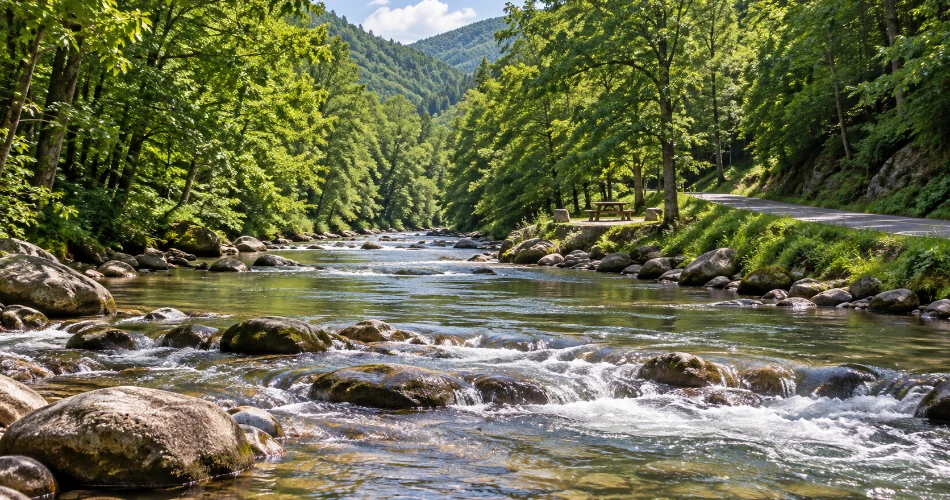
East of Gatlinburg, Greenbrier offers another version of the Smokies. The National Park Service describes it as a heavily forested cove about 20 minutes east of town, where the entrance road follows the Middle Fork of the Little Pigeon River toward a picnic area and trailheads. The landscape is known for mountain streams, wildflowers, waterfalls, historic features, and dense forest rather than broad commercial views.
What makes Greenbrier Gatlinburg work particularly well on a beyond-the-Parkway day is that visitors do not need a major hike to appreciate it. Even the drive in follows water closely enough to make stopping feel worthwhile. A picnic beside the river can be as satisfying as a more ambitious trail, especially for families or travelers who have already walked several miles elsewhere.
This is also an area where current conditions matter. Floods and road damage have affected access in previous years, and the park continues to advise visitors to check road and trail status rather than assuming every route is available. Current park information should always win over an old itinerary saved on a phone.
A good Greenbrier visit is not complicated. Pack lunch, give the river an hour, and allow the forest to do most of the work. That slower pace makes the area a strong counterpoint to downtown Gatlinburg, where the temptation is always to keep moving.
The Arts and Crafts Community Shows a Different Kind of Gatlinburg
Not every trip beyond the Parkway needs to lead deeper into the national park. East of downtown, the Gatlinburg Arts and Crafts Community gives visitors a reason to slow down for people rather than scenery. The community follows an eight-mile loop around Glades and Buckhorn Roads and has roots going back to 1937, when artisans began moving their workshops away from central Gatlinburg. Today the area includes more than 100 artists, craftspeople, studios, galleries, shops, and other small businesses.
The experience works best when travelers resist treating the loop like a shopping mall. The real interest is seeing how things are made. Potters throw clay on wheels, woodworkers shape bowls or furniture, painters work from Appalachian landscapes, and other studios focus on jewelry, leather, textiles, candles, baskets, or traditional musical instruments. Some stops are polished galleries; others feel closer to working workshops.
A few practical habits make the loop more enjoyable:
- Pick several studios that genuinely sound interesting rather than attempting every stop.
- Leave enough time to talk with craftspeople when demonstrations are happening.
- Check individual business hours because studios do not all follow one schedule.
The loop can be reached by car, and Gatlinburg also promotes trolley access to the district.
For visitors who have already seen the Parkway’s souvenir shops, this side of Gatlinburg feels much more personal. A handmade mug or carved bowl has a story attached to it, and that story is often the best souvenir.

Newfound Gap Road Makes the Mountains Feel Bigger With Every Mile
When the day has enough room for a longer drive, Newfound Gap Road changes the scale completely. It leaves the Sugarlands area and climbs through the heart of Great Smoky Mountains National Park, gaining elevation as it approaches the Tennessee–North Carolina state line. The forest changes noticeably during the climb, with lower-elevation hardwoods giving way to cooler high-elevation communities. The National Park Service often describes the ecological change as similar to traveling from Georgia to Maine, only compressed into a mountain drive.
The road itself is part of the experience. Pullouts appear along the way, and the view opens gradually rather than all at once. That makes this a better drive when travelers are willing to stop occasionally instead of treating the destination as the only thing that matters.
For 2026, Newfound Gap Road is considered a primary park road and is generally open year-round, weather permitting. High-elevation weather can still close it temporarily, even when conditions in Gatlinburg seem perfectly comfortable.
The practical lesson is simple: check conditions before leaving town and do not assume a sunny sidewalk in Gatlinburg means clear pavement several thousand feet higher. The park’s current-conditions page also reminds visitors that weather and congestion vary considerably by elevation and location.
Done at an unhurried pace, Newfound Gap Road is less a commute to a viewpoint and more an unfolding lesson in how quickly the Smokies change.

Kuwohi Is Worth Saving for a Clear Window in the Weather
At the high end of the day sits Kuwohi, the highest point in Tennessee and one of the most recognizable viewpoints in Great Smoky Mountains National Park. Reaching it requires turning from Newfound Gap Road onto Kuwohi Road and continuing toward the visitor area. For 2026, Kuwohi Road is scheduled to operate from April 1 through November 29, though snow, ice, and hazardous weather can still close it.
From the parking area, a paved path climbs toward the observation tower. The distance is short, but the grade is steep enough that it should not be dismissed as an effortless stroll. Benches along the way give visitors a reasonable excuse to stop, catch their breath, and look through breaks in the spruce-fir forest. At the tower, the elevated platform provides a 360-degree perspective across the ridges and valleys of the Smokies.
The best approach is to treat the weather as part of the plan. On a clear afternoon, distant ridge lines stack into layers of blue and gray. When cloud settles over the summit, the view can vanish almost entirely. That unpredictability is normal at high elevation.
Parking can also be difficult during busy periods, and the National Park Service encourages travelers to keep an alternative destination in mind when popular areas fill.
Kuwohi should therefore be the part of the day that moves when necessary. If clouds clear later, go later. The mountains are far more impressive when the itinerary bends to them instead of the other way around.

A Better Day Comes From Leaving Some of It Unplanned
There is a temptation with a day outside downtown to turn every side road into an assignment. Roaring Fork, Greenbrier, the craft loop, Sugarlands, Newfound Gap, and Kuwohi all sound close enough on paper that somebody will inevitably try to fit every one of them into the same schedule. That usually produces more windshield time than appreciation.
A better day gives priority to two or three larger experiences and treats everything else as optional. A traveler might pair the Gatlinburg Trail with the Roaring Fork Motor Nature Trail, then spend late afternoon in the Arts and Crafts Community. Another day could combine Sugarlands, Newfound Gap Road, and Kuwohi. Greenbrier works especially well when the goal is streams and quiet rather than high viewpoints.
Current conditions should also influence the plan. As of September 2026, Laurel Falls Trail remains closed for rehabilitation, and Bullhead Trail has weekday closures through November 19. The National Park Service recommends checking current trail and road information before heading out.
Parking deserves similar attention. A parking tag is required for most vehicles left inside the park for longer than 15 minutes, but a tag does not reserve a space. Popular trailheads can still fill.
Travelers who carry a backup plan generally have a better day than those determined to force the original one. In the Smokies, flexibility is not wasted time. It is often what makes the trip work.

The Best Part Is How Quickly the Parkway Feels Far Away
By late afternoon, returning toward central Gatlinburg can be surprisingly revealing. After hours beside streams, driving forest roads, watching an artisan work, or standing above miles of mountain ridges, the Parkway feels different. It is still lively and bright, but it no longer represents the whole town. That is the real value of spending time Gatlinburg beyond the Parkway.
The distance between the two versions of Gatlinburg is remarkably small. Sugarlands is only a few minutes away. Roaring Fork starts almost behind downtown. The Arts and Crafts Community spreads east through wooded neighborhoods, while Newfound Gap Road climbs directly from the town edge toward some of the highest terrain in the Smokies. A visitor does not need to choose between “Gatlinburg” and “the mountains.” The destination works because the two constantly overlap.
For a first visit, seeing both sides prevents the town from feeling like nothing more than an entertainment strip. For returning travelers, these roads and quieter areas provide reasons to come back without repeating the same itinerary.
The best ending is not another race through attractions. It might be dinner back in town, a slow walk beside the river, or simply watching evening settle over the ridges. After a day in the forest, even downtown’s lights seem to make a little more sense.
Next post A Little More Time in Gatlinburg Goes a Long Way
Previous Post What to Do When You Have an Extra Day in Gatlinburg
About Author
