 English

 Home
Home Hotels
  Car Rental
 Rewards
 Travel Guide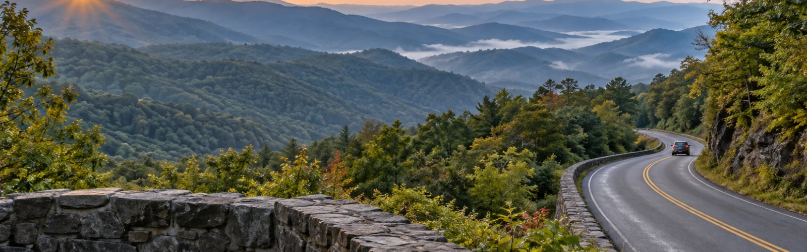
The Places Around Gatlinburg That Make the Drive Worthwhile

Gatlinburg has a way of making a parked car feel unnecessary. Downtown is compact, trails begin close to town, and plenty can be reached on foot or by trolley. But some of the best days here begin when a traveler heads away from the Parkway and keeps driving. Within a relatively short distance, busy streets give way to streamside roads, broad mountain valleys, high gaps where the air feels noticeably cooler, and stretches of forest where the next worthwhile stop may simply be a pullout beside a river.
That is what makes Gatlinburg scenic drives different from ordinary road trips. The drive is rarely just transportation. A road such as Newfound Gap Road changes character as it gains elevation. The route toward Cades Cove follows water and forest before opening suddenly into pasture. Greenbrier feels quieter almost as soon as the turn is made, while the Foothills Parkway puts much of the Smokies in front of the windshield at once.
For first-time visitors, these roads show how much lies beyond downtown. For returning travelers, they offer a good reason to skip familiar attractions for a day and see another side of the mountains.
Newfound Gap Road Makes the Mountains Change Mile by Mile
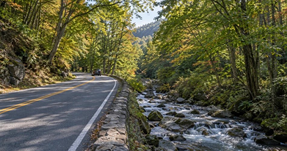
Among the scenic drives near Gatlinburg, Newfound Gap Road is the one that best shows how quickly the Smokies can change. The highway crosses Great Smoky Mountains National Park between Gatlinburg and Cherokee, climbing from lower hardwood forest into noticeably cooler high country. Rather than treating the route as a race to the North Carolina side, travelers get more from it by leaving room for pullouts and short pauses along the way.
Newfound Gap itself sits at 5,046 feet. The temperature there can be significantly cooler than in Gatlinburg, and conditions at the gap can differ sharply from those down in town. Layers belong in the car even when the morning below feels warm. The overlook also places travelers directly on the Tennessee–North Carolina state line and near the Appalachian Trail.
The road is roughly a 31-mile park corridor linking Gatlinburg with Cherokee, and its viewpoints, stonework, forest transitions, streams, and high ridges make the journey worth more than the destination at either end.
Kuwohi Is the Detour Worth Taking When the Road Is Open
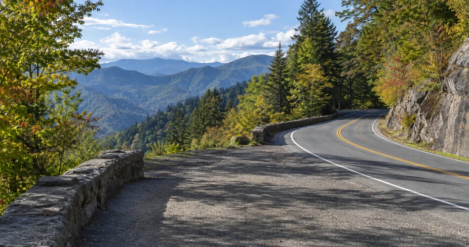
At Newfound Gap, one road deserves another turn. Kuwohi Road leaves the main highway and runs seven miles toward the highest point in Great Smoky Mountains National Park. Kuwohi, formerly known as Clingmans Dome, reaches 6,643 feet and feels distinctly different from the lower elevations around Gatlinburg. Spruce-fir forest replaces much of the lower-elevation hardwood scenery, clouds can move through quickly, and the temperature can feel surprisingly cool even on a comfortable day below.
The road ends near the visitor center and the paved trail to the observation tower. That final walk is steep, so the summit is not a simple roadside viewpoint, but the mountain setting makes the extra effort worthwhile when visibility cooperates.
Kuwohi Road is seasonal rather than a year-round certainty. For the 2026 season, the National Park Service lists it from April 1 through November 29, weather permitting, with snow, ice, or other hazards capable of changing access.
That uncertainty is part of high-country travel in the Smokies: conditions decide the schedule more often than a carefully planned itinerary does.
Cades Cove Turns a Drive Into Most of the Day
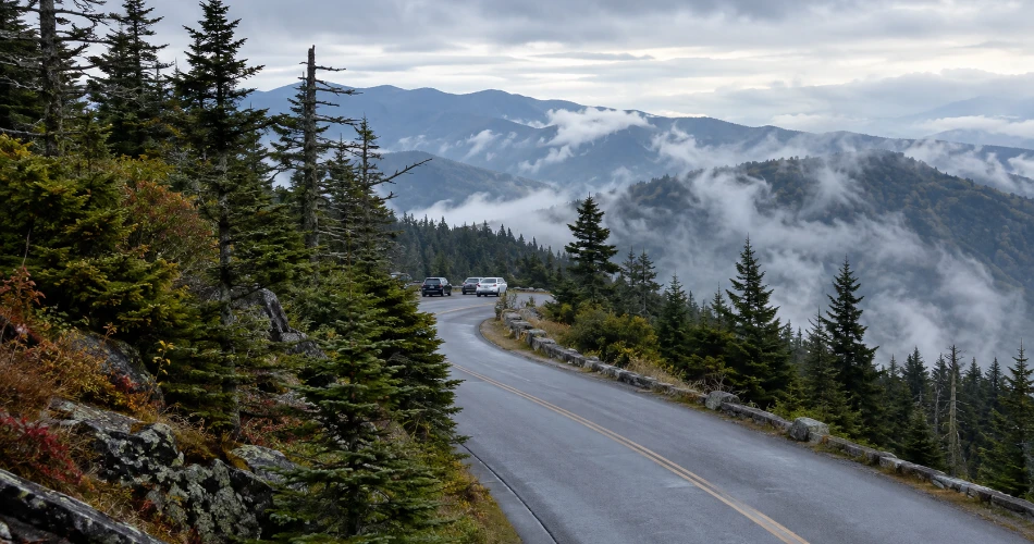
A Cades Cove drive rarely stays a quick outing. The route west from Gatlinburg passes through forest beside Little River before reaching one of the best-known landscapes in the Smokies: an open valley ringed by mountains, with historic churches, cabins, fields, wildlife habitat, and trail access spread around an 11-mile one-way loop.
The National Park Service recommends allowing roughly two to four hours for the loop itself, and that estimate can easily grow when travelers stop at historic structures, walk around the Cable Mill area, or encounter slow wildlife-viewing traffic. During busy summer and fall periods, patience is useful equipment.
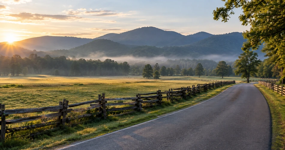
Cades Cove works best when travelers stop thinking of the loop as a road that needs to be completed. Pullouts exist for a reason. A patch of morning fog over a field or light falling across a split-rail fence can be more memorable than trying to tick off every historic building.
Drivers should also remember that the loop is typically closed to motor vehicles on Wednesdays from May through September for vehicle-free use.
Foothills Parkway Is Where the View Does Most of the Work
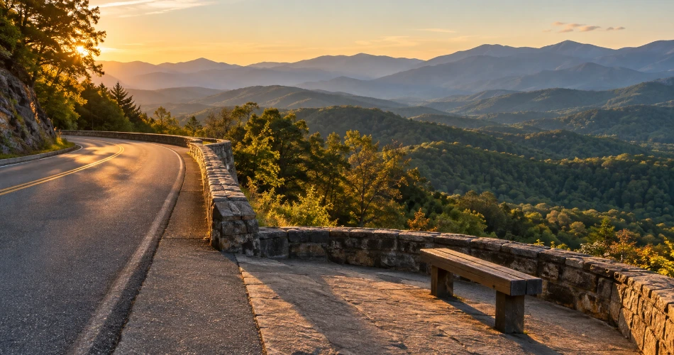
There are days when travelers want mountain scenery without building the whole schedule around trailheads and crowded parking lots. That is when the Foothills Parkway earns its place on a Great Smoky Mountains road trip. Unlike the enclosed stream corridors found deeper in the park, much of this drive opens toward long-distance views, making the scale of the Smokies easier to understand.
The parkway was authorized in 1944, but the full planned corridor was never completed. The National Park Service currently manages several completed sections totaling 22.5 miles. Among them, the Walland-to-Wears Valley section runs 14.75 miles one way, while other open segments lie farther west and northeast.
This is not a road that needs many scheduled stops. The better approach is to use the overlooks that catch the eye, watch the weather, and allow the horizon to change as the road curves along the foothills.
On clear mornings the ridgelines can appear crisp. Near sunset, they often stack into softer layers of blue and gray—a familiar Smokies view that never needs digital exaggeration.
Greenbrier Feels Farther From Gatlinburg Than It Really Is
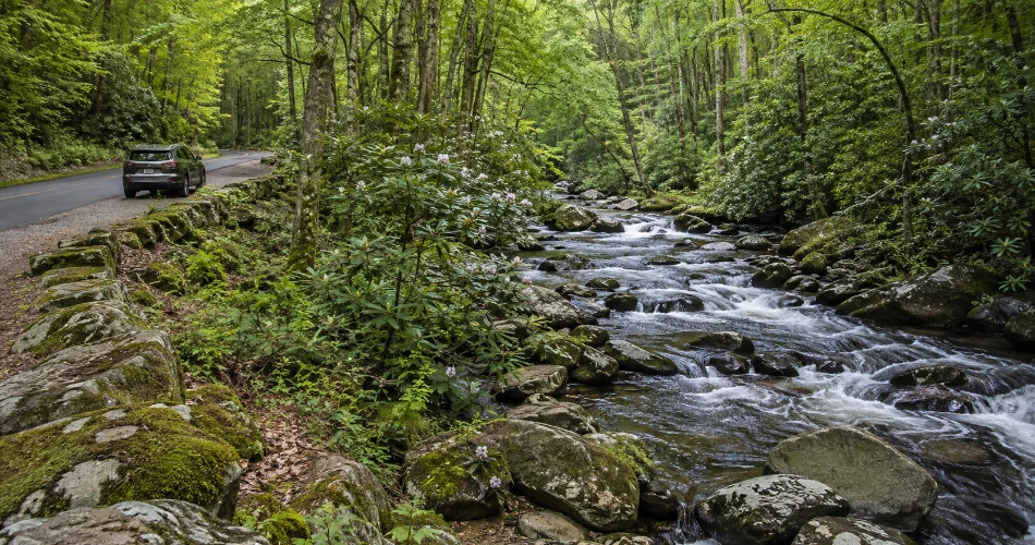
Greenbrier proves that a drive does not have to cover many miles to change the mood of a day. The area lies roughly 20 minutes east of Gatlinburg, yet it quickly replaces commercial streets with forest, river sounds, gravel and paved road sections, trailheads, and shady places where travelers can linger beside the water.
The National Park Service describes Greenbrier as a heavily forested cove known for wildflowers, waterfalls, fishable streams, historic structures, and cemeteries. Its entrance road follows the river upstream toward a picnic area and several trailheads.
This is a particularly good choice when the purpose of the drive is not a big summit or landmark. Greenbrier works because the details are smaller: clear water sliding over broad rocks, rhododendron leaning toward the stream, moss around old stonework, and forest that closes around the road.
Travelers planning to park and walk should remember that a parking tag is required whenever a vehicle remains parked in Great Smoky Mountains National Park for more than 15 minutes. The park itself does not charge an entrance fee.
Cosby Is for Travelers Who Want the Road to Get Quieter
Cosby sits on the northeastern side of the park and tends to attract fewer casual sightseers than Cades Cove or Newfound Gap. That alone changes the rhythm of a visit. From the Sugarlands area, the drive is roughly 45 minutes, long enough to feel like a proper outing but still practical for half a day.
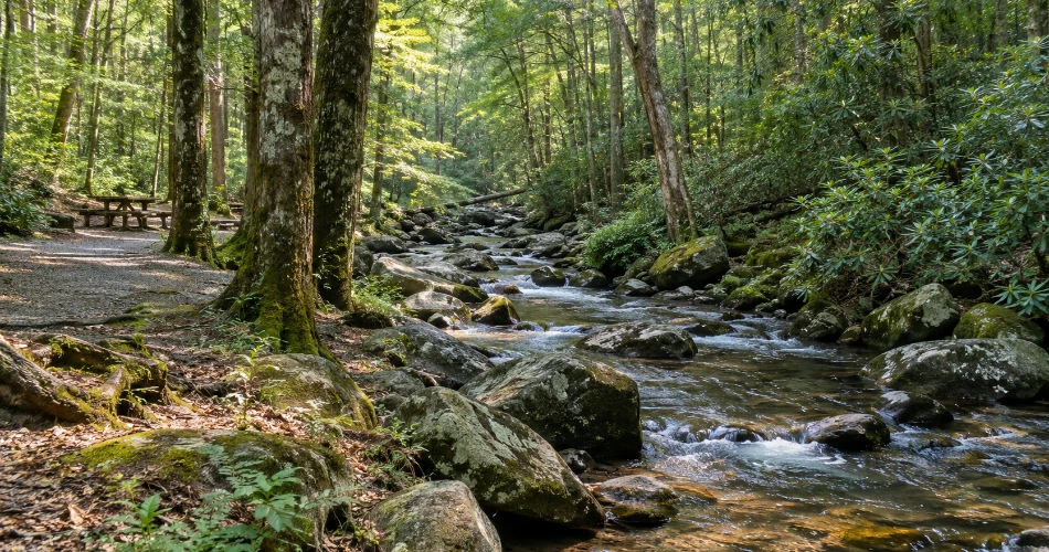
The setting revolves around Cosby Creek and a broad hardwood forest known for spring wildflowers, autumn color, historic cemeteries, and sections of older forest. There is a picnic area, campground, and access to several trails. Travelers looking for more than a roadside stop can use Cosby as the starting point for Hen Wallow Falls. The NPS describes that hike as about 4.4 miles round trip to a 95-foot waterfall along the Gabes Mountain Trail.
What makes Cosby worthwhile, though, is not the need to complete a major hike. A slower afternoon around the creek or a short forest walk can justify the drive. It is one of the places that reminds returning visitors how large the Smokies really are once the busiest corridors are left behind.
Oconaluftee Gives the Road Trip a Different Kind of Stop
Continuing over Newfound Gap into North Carolina changes more than the state name on the map. Near Cherokee, the Oconaluftee valley opens into broad fields beside the river, creating one of the most distinctive stops along the cross-park drive.
The Oconaluftee Visitor Center is about two miles north of Cherokee. Beside it, the Mountain Farm Museum brings together historic log structures including a farmhouse, barn, smokehouse, apple house, and corn crib. That makes this stop useful for travelers who want more context than another mountain overlook can provide.
The valley is also associated with one of the park's main elk herds. Wildlife sightings can never be guaranteed, and the fields should not be treated like a drive-through zoo. Visitors need to stay out of closed areas and give elk plenty of room, especially during sensitive seasonal periods.
For a Great Smoky Mountains road trip, Oconaluftee makes a satisfying turnaround point: mountain scenery on the way over, cultural history in the valley, then an entirely different sequence of views on the return to Gatlinburg.
Roaring Fork Motor Nature Trail Packs a Lot Into 5.5 Miles
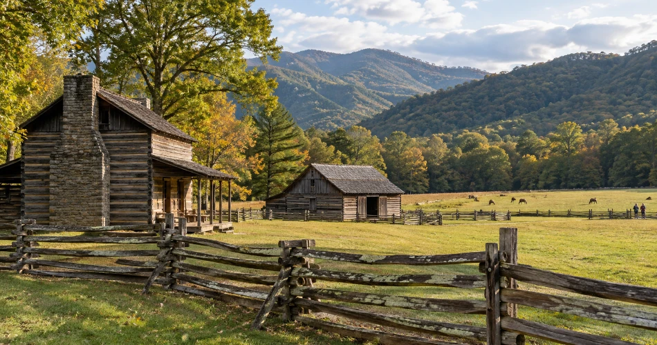
The Roaring Fork Motor Nature Trail begins surprisingly close to Gatlinburg, but the road quickly loses the feel of town. The 5.5-mile one-way route is narrow and winding, passing rushing water, deep forest, historic structures, trailheads, and roadside features that reward a slow pace rather than constant stopping.
Before entering the motor trail, travelers can pass the Noah “Bud” Ogle farmstead, one of the useful reminders that people lived and worked in these mountains long before tourism shaped Gatlinburg. Farther along, trail access includes the route toward Grotto Falls, while Place of a Thousand Drips appears beside the road near the latter part of the drive.
The road has practical limitations. Buses, trailers, and motor homes are not permitted, and the route closes seasonally. For 2026, the NPS seasonal schedule lists the motor trail from April 17 through November 29, subject to conditions.
Roaring Fork is especially good after recent rain, when the streams and roadside cascades carry more water, although wet pavement and crowded trailhead parking make slower driving essential.
A Few Things Are Worth Checking Before Leaving Town
A good mountain drive needs less planning than a packed attraction schedule, but it should not be completely improvised. Road status matters in the Smokies because elevation, storms, fallen trees, maintenance, snow, and seasonal schedules can change access. Newfound Gap Road, Little River Road, and Cades Cove Loop Road are primary roads that generally operate year-round, weather permitting, while roads such as Kuwohi Road and Roaring Fork Motor Nature Trail follow seasonal schedules.
A few habits make these scenic drives near Gatlinburg easier:
- Check current NPS road and weather conditions before leaving, particularly for high-elevation and secondary roads.
- Carry a parking tag when the plan includes parking longer than 15 minutes inside the national park.
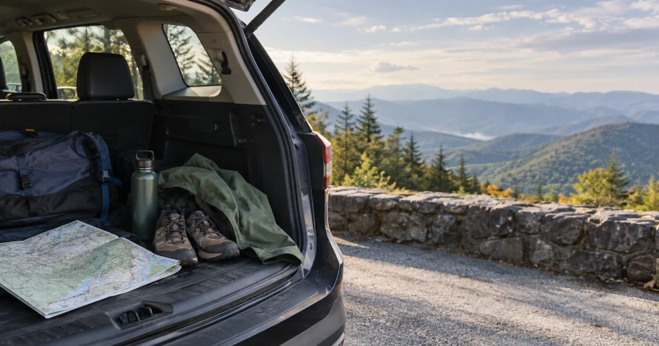
- Keep water, a light layer, and comfortable walking shoes in the vehicle; mountain temperatures can differ sharply from downtown.
- Leave extra time. Cades Cove traffic, wildlife activity, full parking areas, roadwork, and weather can turn a neat schedule into guesswork.
Cell service is unreliable in parts of the park, another good reason for travelers to know the route before the signal disappears.
The Road Back to Gatlinburg Is Part of the Trip Too
The best drives around Gatlinburg are not simply ways to reach somewhere else. Newfound Gap Road shows how dramatically the forest changes with elevation. Kuwohi adds a high-country finish when conditions cooperate. Cades Cove slows a traveler down with fields, old buildings, and mountain walls on every side. The Foothills Parkway turns distant ridges into the main attraction, while Greenbrier and Cosby prove that quieter water and forest can be every bit as memorable as a famous overlook.
Even the return trip tends to look different. Afternoon light moves into valleys that were shaded in the morning. A roadside stream catches the sun at another angle. Fog disappears from a ridge or begins settling back into it. The road that felt like transportation on the way out can become part of the day on the way home.
That is why Gatlinburg scenic drives deserve space in an itinerary rather than being squeezed between attractions. A traveler does not have to go far from town. The important part is leaving enough time to pull over legally, get out occasionally, and let the mountains set the pace.
Next post A Gatlinburg Day Built Around Good Stops, Not a Checklist Worthwhile
Previous Post Gatlinburg Is More Than a Place to Start a Mountain Trip
About Author
