 English

 Home
Home Hotels
  Car Rental
 Rewards
 Travel Guide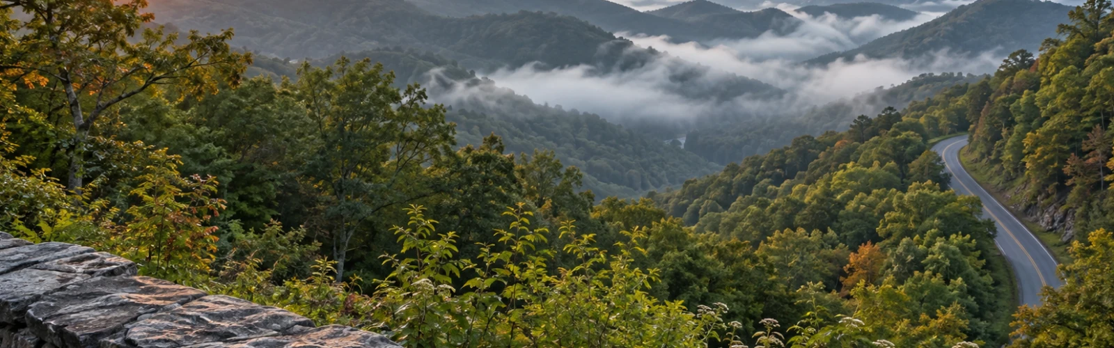
The Places Near Gatlinburg That Are Worth Leaving Town For

Gatlinburg makes it surprisingly easy to spend an entire vacation within a few blocks of the Parkway. Restaurants, mountain attractions, shops, river views, and trail access are packed into a small area, so leaving town can almost feel unnecessary. That changes once a traveler actually follows one of the roads heading away from downtown.
Some of the best places near Gatlinburg are not individual attractions at all. They are valleys where old cabins still stand against wooded slopes, roads that follow cold mountain streams, communities where the pace changes almost immediately, and park areas where twenty minutes of driving can produce a completely different version of the Smokies.
That is what makes the better Gatlinburg day trips worth taking. A traveler does not need to drive halfway across Tennessee. Greenbrier is roughly 20 minutes east of Gatlinburg, while Little River Road leads toward historic sites, picnic areas, Townsend and eventually Cades Cove. Farther east, Cosby provides access to trails and a much quieter section of the Great Smoky Mountains.
These are the outings that give a Gatlinburg trip some breathing room.
Take Little River Road When the Drive Matters as Much as the Stop
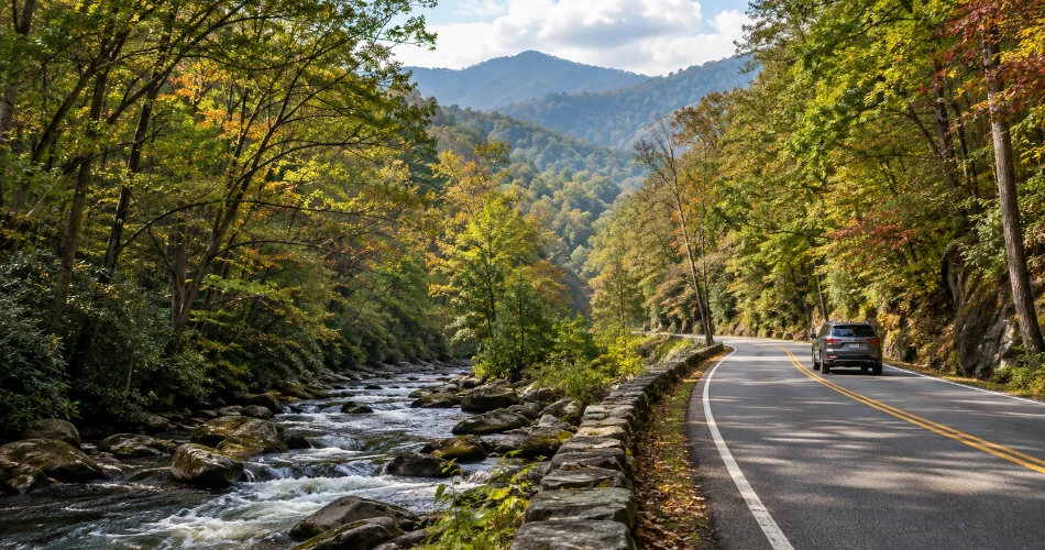
Little River Road is one of the easiest ways to understand why leaving Gatlinburg does not have to mean rushing toward another major attraction. From the Sugarlands area, the road works west through forest beside the Little River, with water, rock walls, wooded slopes, trail access and picnic areas repeatedly pulling attention away from the destination.
Metcalf Bottoms makes a particularly good stopping point. The picnic area sits beside the Little River and remains open year-round. From there, walkers can head toward Little Greenbrier School, a log schoolhouse built in 1881 by John Walker and his son James Thomas. Those willing to continue along Little Brier Gap Trail can reach the Walker Sisters' former homestead, preserving a much more personal piece of mountain history than a roadside historical marker ever could.
The appeal is partly how easily the day can be adjusted. A traveler might spend twenty minutes beside the river, turn the stop into a longer historic walk, or simply continue toward Townsend.
Little River Road is also one of the park's primary roads and normally remains open year-round, weather permitting. Even so, temporary closures can occur, so checking current National Park Service conditions before leaving Gatlinburg remains worthwhile.
Give Townsend Tennessee More Time Than a Fuel Stop
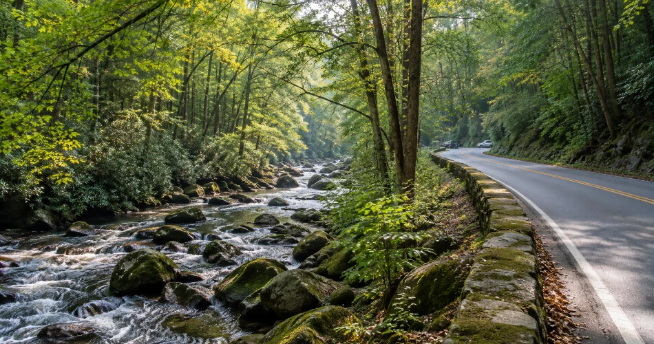
Townsend sometimes gets treated as the town travelers pass through on the way to somewhere else. That misses the point. Townsend Tennessee works best when it is allowed to be the quieter part of the day.
The community sits at a gateway to Great Smoky Mountains National Park and Cades Cove, but its character is noticeably different from central Gatlinburg. Local tourism information emphasizes outdoor recreation, regional crafts, mountain music and cultural history rather than a dense strip of attractions.
A good Townsend stop does not require a complicated schedule. Travelers can spend time near the Little River, visit the local visitor center for information about Cades Cove and surrounding mountain communities, or simply use the town as an unhurried break between two park outings. The visitor center also hosts artisan activity and regional cultural programming at different points during the year.
Townsend is especially useful for travelers who have already spent several days around the Gatlinburg Parkway. The traffic pattern, open valley and surrounding ridges reset the feel of the trip without requiring an ambitious excursion.
It also pairs naturally with Cades Cove, Tremont or the western section of the Foothills Parkway, making it one of the most useful bases for a full day away from downtown.
Make Cades Cove a Real Half-Day Trip, Not a Quick Loop
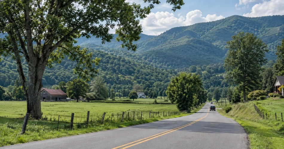
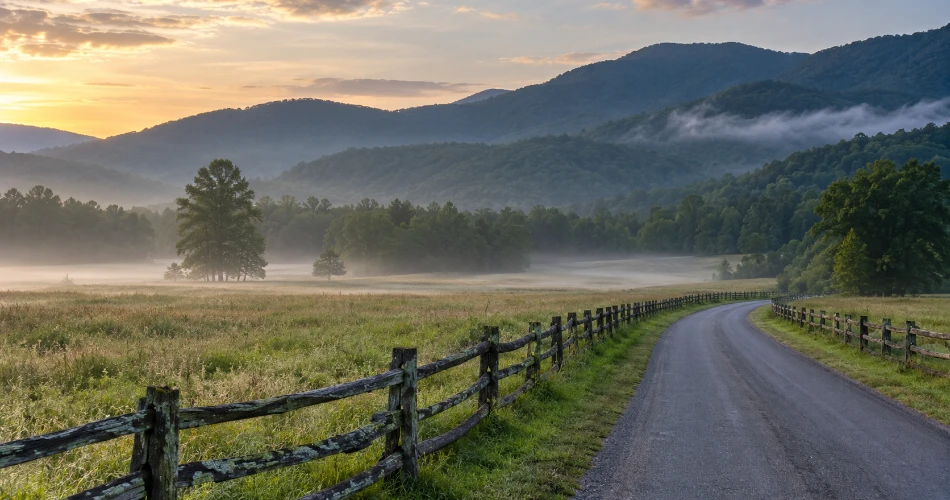
Cades Cove is well known, but it still deserves a place among the best Gatlinburg day trips because trying to squeeze it into an hour usually defeats the reason for going.
The valley is ringed by mountains and crossed by an 11-mile, one-way loop road. Along that circuit are historic houses, churches, cemeteries, barns and the Cable Mill area, giving Cades Cove one of the largest concentrations of historic buildings anywhere in Great Smoky Mountains National Park. The National Park Service advises allowing roughly two to four hours for the loop, and longer when hiking or making repeated stops.
Wildlife is another reason people come, but the valley should not be treated like a drive-through zoo. Deer, turkeys and black bears may be seen, yet animals need to be watched from proper distances rather than approached or surrounded by stopped traffic.
Timing matters too. In 2026, the loop is closed to motor vehicles every Wednesday from May 6 through September 30, creating vehicle-free access for pedestrians and cyclists.
A few habits make the visit much better:
- Arrive early or consider a later-afternoon circuit rather than the busiest middle of the day.
- Use designated pullouts instead of stopping in the travel lane.
- Leave room for historic structures instead of racing between wildlife sightings.
- Expect summer, fall and weekend traffic to move slowly.
Cades Cove rewards patience far more than speed.
Let the Foothills Parkway Handle the Mountain Views
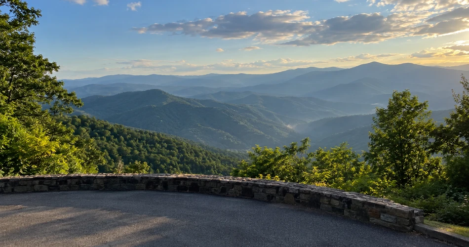
Many Smoky Mountain scenic drives are beautiful because the road passes through forest. The Foothills Parkway is different: its best moments come when the landscape opens and the mountains spread across the horizon instead of closing around the car.
The National Park Service manages a 72-mile planned corridor, but only three sections totaling 22.5 miles have been completed and opened to the public. The western segments connect areas around Chilhowee, Walland and Wears Valley, while the eastern segment runs between Cosby and Interstate 40.
The Cosby-to-I-40 section is only 5.6 miles, yet it climbs about 1,000 feet along Green Mountain and provides four overlooks with views toward Cosby Valley, Raines Knob and Cherokee National Forest.
The western sections work especially well with Townsend or Wears Valley. Instead of treating the parkway as transportation, travelers should budget time for overlooks, changing light and short stops. A clear late afternoon can be more rewarding than racing there for sunrise simply because an itinerary says sunrise is mandatory.
One practical rule matters: check the park's road-closure information first. High-elevation roads can be affected by weather even when conditions in Gatlinburg look perfectly normal.
Head to Greenbrier When Gatlinburg Starts Feeling Too Busy
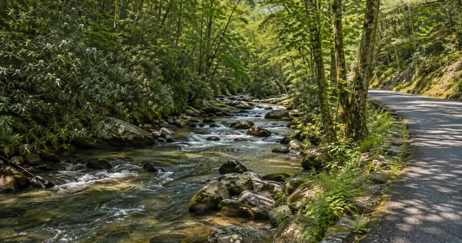
Greenbrier demonstrates how quickly the Smokies can change. The park describes it as a heavily forested cove roughly 20 minutes east of Gatlinburg, yet the atmosphere feels much farther removed from downtown. The entrance road follows the Middle Fork of the Little Pigeon River toward a picnic area and mountain trailheads.
This is one of the places near Gatlinburg that works particularly well for travelers who want less pavement and more forest without committing to an all-day expedition.
Porters Creek Trail is the standout option. The route combines mountain history, spring wildflowers and forest walking, with Fern Branch Falls reached at roughly two miles from the trailhead. The National Park Service describes the waterfall as about 40 feet high. A historical side trip near the first major trail junction leads toward Messer Barn and a cabin associated with the Great Smoky Mountains Hiking Club.
Spring gives Greenbrier another reason to go. Porters Creek is specifically noted for wildflower displays from late March through April, particularly along the first mile and a half.
Parking is limited around popular trailheads, so Greenbrier works best when visitors arrive with a flexible plan rather than assuming a space will always be waiting.
Save Cosby Tennessee for a Quieter Smokies Day
Cosby Tennessee is a good answer when the familiar Gatlinburg side of the park feels crowded. It lies in the northeastern Smokies and provides access to picnic areas, campgrounds and trails that receive less attention from first-time visitors.
The trail network is the main reason to make the drive. Routes from the Cosby area connect with Low Gap, Lower Mount Cammerer, Snake Den Ridge and Gabes Mountain trails. Gabes Mountain is the route toward Hen Wallow Falls, while longer options can lead experienced hikers toward the Appalachian Trail and Mount Cammerer country.
Cosby also pairs unusually well with Foothills Parkway East. From Cosby, that section climbs Green Mountain for 5.6 miles and opens to several broad Appalachian viewpoints, so a traveler can combine a forest walk with one of the better short scenic drives on the eastern side of the park.
What Cosby does not offer is the instant entertainment of downtown Gatlinburg. That is exactly why it belongs on the list. A day here tends to revolve around creek sounds, walking distance, weather and how much energy remains rather than reservations or attraction schedules.
For repeat visitors, that shift can make the Smokies feel new again.
Follow Tremont Road for Water, Forest and an Easy-to-Like Trail
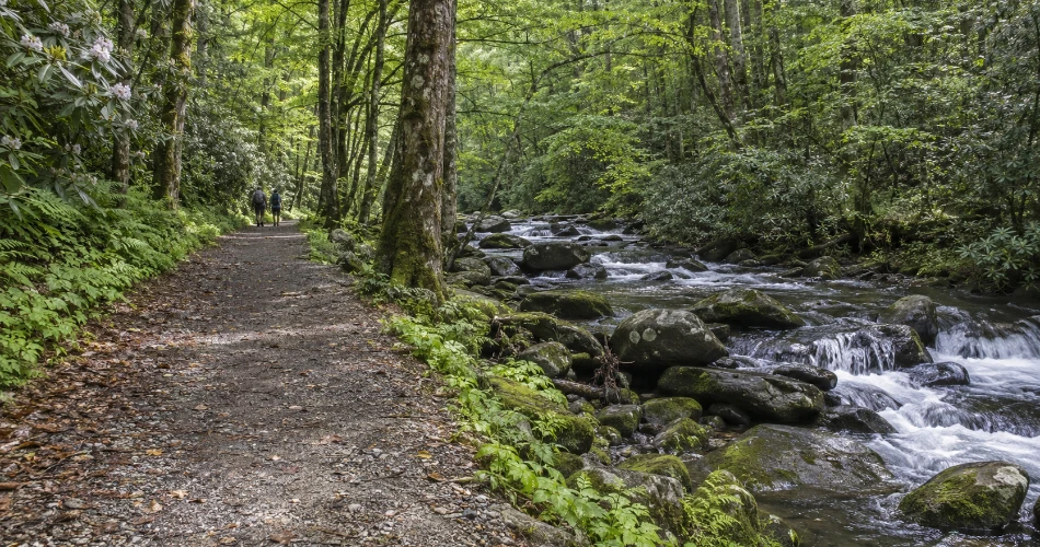
Tremont is easy to overlook because it does not announce itself with a huge roadside attraction. The road turns away near the Townsend Wye and gradually moves deeper into a wooded watershed. That understated approach is a large part of its appeal.
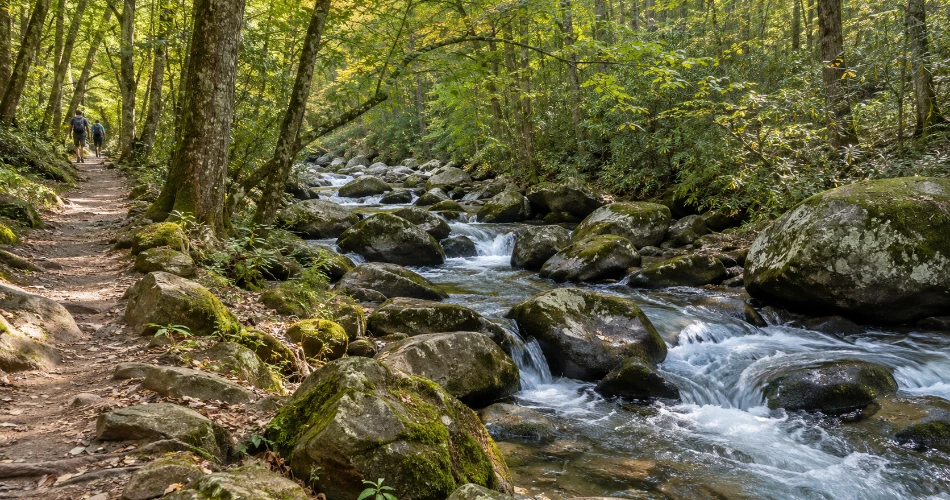
Middle Prong Trail begins at the end of Upper Tremont Road and follows the route of an old logging railroad. The broad grade makes the opening section feel less technical than many mountain trails, while the sound of rushing water stays close for much of the walk. The National Park Service identifies Lynn Camp Prong Cascades about 0.7 mile from the trailhead, making the outing roughly 1.4 miles round trip.
The trail becomes particularly interesting in spring, when foamflower, toothwort, violets, wood sorrel and trilliums can appear along its early miles.
Upper Tremont Road is unpaved near the trailhead but is described by the park as well maintained. Conditions can still change after storms, so current road information deserves a quick check before the drive.
Tremont works best as an unhurried half day: drive slowly, walk as far as conditions and energy allow, and resist turning every cascade into a required photo stop.
Cross Newfound Gap for the Oconaluftee Side of the Park
Not every worthwhile outing from Gatlinburg has to stay on the Tennessee side. Travelers with a full day available can follow Newfound Gap Road across the mountains toward Oconaluftee and Cherokee, turning the drive itself into part of the trip.
Oconaluftee is the southern gateway to Great Smoky Mountains National Park. The river valley contains a visitor center, historic structures and one of the park's two primary elk herds.
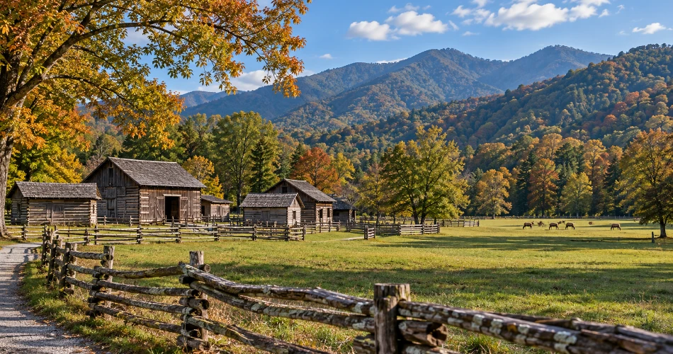
Behind the visitor center, the Mountain Farm Museum presents a collection of historic Appalachian farm buildings, including a farmhouse, barn, apple house, springhouse, meat house, corn crib and other structures. Most date from the late 1800s and were relocated from different parts of the park during the 1950s, while the barn is original to the site.
The Oconaluftee River Trail adds an easy walking option. It runs about 1.6 miles between the visitor-center area and Cherokee and is one of only two park trails where dogs are permitted.
This is a longer Gatlinburg day trip, so it works best when the schedule leaves room for Newfound Gap Road overlooks rather than treating the mountain crossing simply as commuting time.
A Few Details Make These Gatlinburg Day Trips Much Easier
Leaving town works best when the plan stays simple. Great Smoky Mountains National Park does not charge an entrance fee, but a parking tag is required for vehicles parked inside the park for more than 15 minutes. A parking tag does not reserve or guarantee a parking space.
The park also reports that its busiest daily period is generally between about 9 a.m. and 2 p.m. During busy seasons, the National Park Service recommends entering no later than 8 a.m.; around 3 p.m. can also work well for visitors comfortable returning later in the day.
That leads to a few practical habits:
- Check current road, trail and weather conditions before leaving Gatlinburg.
- Carry water and basic food when heading toward quieter park districts.
- Obtain the correct parking tag before relying on a small trailhead to sell one.
- Build one main destination into the day rather than stacking three major drives together.
- Keep wildlife at a safe distance and use legal pullouts for photographs.
The best schedule usually has breathing room. Townsend and Cades Cove can fill a day. Greenbrier can stand alone for a morning. Cosby and Foothills Parkway East pair naturally. Tremont works well when nobody is watching the clock.
The Best View of Gatlinburg Sometimes Comes After Leaving It
Gatlinburg works partly because so much is concentrated into one mountain town. But a traveler who never leaves the Parkway sees only one part of the region.
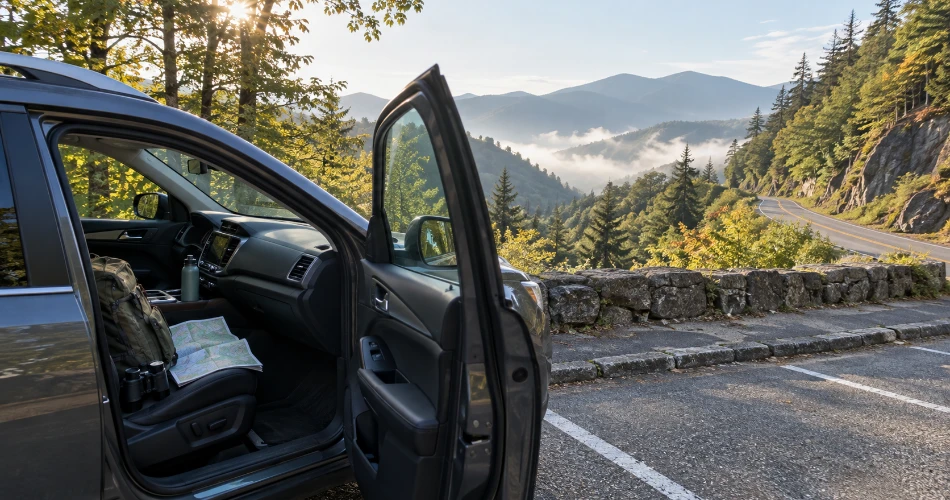
Cades Cove adds open valley and mountain history. Townsend slows the pace. Greenbrier puts a rushing stream and hardwood forest within a short drive of downtown. Cosby opens a quieter trail network. Tremont turns an old logging corridor into a creekside walk. The Foothills Parkway provides the wide mountain views that cannot be appreciated from street level. Oconaluftee shows how different the Smokies can feel after crossing the high country into North Carolina.
These are not side trips that need to be squeezed between attractions. They are strong enough to become the day.
For first-time visitors, one well-chosen outing adds context to everything seen back in town. For returning travelers, these valleys and backroads are often where the next version of a Gatlinburg trip begins.
The smartest approach is not to collect every stop. It is to choose a road, leave enough time for an unplanned pullout or short walk, and allow the Great Smoky Mountains to set the pace for a while.
Next post The Gatlinburg Stops That Are Worth Getting Out of the Car For
Previous Post What to See When You’ve Already Done the Usual Gatlinburg Stops
About Author
